|
|
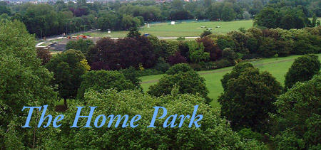
The Home Park is a famous feature of the
land to the north of Windsor Castle. It has been used for many
years as a sports area, with archery, cricket, rugby and tennis
all catered for. The area was also the home of The Royal Windsor
Horse Show in mid-May until its
move to the private area of the Home Park in 2005. 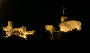 At one point in the 1680s Charles II had
a plan to create a drive on the north side of the castle, exactly
opposite The
Long Walk, newly created on the south side. This did not
materialise, but a garden was created by Queen Anne in the same
area a few years later. It was named The Maestricht Garden, after
a battle in 1673 in Maestricht, Holland. The battle had been
recreated in the Little Park (as it was then known) over four
days in August 1674 by James, Duke of Monmouth. 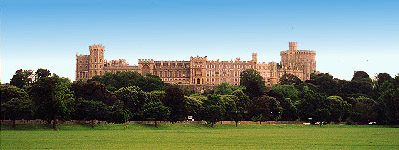
Queen Anne's Gardens revealed!Astonishingly, the layout of the gardens
from the early 1700s becomes visible once more during extremely
dry weather. One such occasion was in August 1964 as the following
aerial photograph shows. North of Windsor Castle the pathways
of The Maestricht Garden appear, together with a darker patch
in the centre which is doubtless the position of the former Maestricht
Lake. This area of The Home Park is still susceptible to waterlogging
in the winter months and was flooded in January 2003, and subsequently
frozen, much to the delight of local children. [The
Floods of 2003] 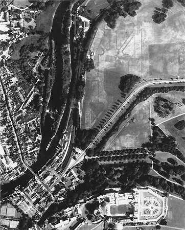
We are grateful for permission to reproduce this remarkable photograph and the ghostly images from the past that it conveys. Early post card and stereo views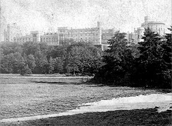 by George Washington Wilson, Aberdeen (No. 445)
Along with views from the Brocas and Windsor Bridge, one of the most popular views of Windsor Castle is from The Home Park. Above we reproduce one of the earliest photographs believed to date from around 1875 and taken by Royal Photographer, George Washington Wilson. The original of this picture is a stereoview which can be seen as a '3D' image when viewed with the stereoviewers of the time. Across the middle of the picture runs the comparatively new road between Windsor and Datchet, crossing the river at Victoria Bridge. This road was constructed 24 or so years earlier in 1851. Beyond the road is the private area of the Home Park. The area to the right remains a small wood to this day, and now features a children's play area. 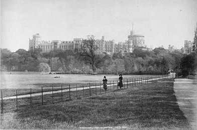 In the view above, the road to the right leads to Romney Lock via a level crossing over the tracks that serve Windsor and Eton Riverside Station. Until the 1840s this road would have continued through to Datchet alongside the river. Apart from the tree growth which now tends to obscure the castle, and the felling of the large tree in the centre, little has changed in this view since 1850. 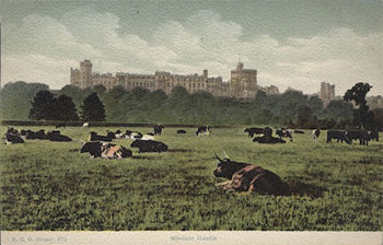 This view by FGO Stuart is indeed rare and dates from around 1900. The Home Park has not been used for grazing cattle for many years, certainly not since WWII and quite possibly not since the early days of the 1900s. This view is taken from the area now set aside as cricket pitches. To contact us, email Thamesweb. |